El Yunque National Forest
Driving in Puerto Rico is a nightmare. Nowhere is the concept of island time more apparent than on the roads and highways around the island. Unlike the States, where the vast majority of people view a speed limit as the minimum rate of travel, Puerto Ricans take the velocidad maxima as gospel. It is the maximum speed allowed and most drivers stay well below it to be sure. That means you'll get a lot of drivers across all the lanes of the highway doing between 45 and 60 on a road with a speed limit of 65. Thus the trip to San Juan from Aguadilla takes a couple of hours even though the straight-line distance is only something like 75 miles. So when we decided to visit El Yunque and Old San Juan, which are both located on the eastern end of the island, we bundled them together into a full day of sightseeing.
El Yunque National Forest is the only tropical rain forest in the National Forest System. Even though it's only about 29,000 acres in size, putting it on the lower end of the size scale amongst national forests, it boasts hundreds of different animal and plants species and is one of the most biologically diverse forests in the system.
El Yunque is loaded with an abundance of hiking trails and points of interest. We stuck with the easy-to-moderate hikes so we could enjoy a variety of sights in a short amount of time. We started with the visitors' center to get a lay of the land.


You reached the visitors' center via an elevated wooden boardwalk that meandered a bit through colorful bromeliads and verdant forest. We had hoped to pick up a map or guide of some sort, but none was on offer. I had looked up the trail map online, so I was familiar with the general layout. So we figured we would just continue along the main road that wound through the forest and follow the sign posts to areas we wanted to explore.
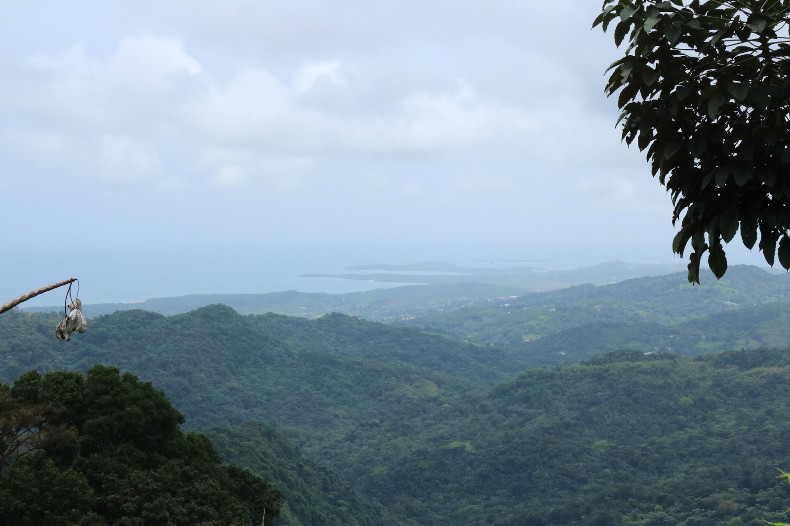
It wasn't long before we came upon an overlook, so we stopped and had a gander.


Next up was La Coca Falls. La Coca was right next to the road. The water cascades eighty-five feet down the rock face.


Our next stop was Yokahu Tower. The observation tower was built in 1962. Its style is the same as the Mt. Britton Tower further up the mountain. That tower was built by the Civilian Conservation Corps in 1935. Yokahu is seventy-five feet tall. You have to climb ninety-eight steps to get to the top.


Our final stop was Baño de Oro, a recreational facility built by the Civilian Conservation Corps between May 1933 and June 1942. The great pool was called Baño Grande, and was used as a swimming pool until 1976.


After we walked around Baño de Oro, we went across the street to a rest area and the trailhead of the La Mina Falls. Those falls are very popular, but the trail possessed a steep incline that I was unwilling to tackle.


 This section of road across from where we parked for Baño de Oro illustrates the variety of trees.
 The way they arranged the rocks to prevent them from falling into the road reminded me of Machu Picchu.

El Yunque National Forest is the only tropical rain forest in the National Forest System. Even though it's only about 29,000 acres in size, putting it on the lower end of the size scale amongst national forests, it boasts hundreds of different animal and plants species and is one of the most biologically diverse forests in the system.
El Yunque is loaded with an abundance of hiking trails and points of interest. We stuck with the easy-to-moderate hikes so we could enjoy a variety of sights in a short amount of time. We started with the visitors' center to get a lay of the land.


It wasn't long before we came upon an overlook, so we stopped and had a gander.


Next up was La Coca Falls. La Coca was right next to the road. The water cascades eighty-five feet down the rock face.


I don't know who those tourists are, but they certainly help show the falls' size.

This is the water beyond the falls and on the other side of the road.

I spotted this guy on one of the guard rail pillars.

This is the view as you approach the tower.

The view from some of the tower's arched windows.

How's that for private? That's a house on stilts in the middle of the forest.

Clouds descend over the mountains and obscure the tops.

This rock face is called Cara de Indio.

A view from the top.

A small stream tumbled over the rocks below the pool.

A view of the front edge of the pool as you approached from below.

Baño Grande

Water overflow spilling from the pool down the mountainside.

A view of the pool from the stone bridge seen in the earlier photo.
After we walked around Baño de Oro, we went across the street to a rest area and the trailhead of the La Mina Falls. Those falls are very popular, but the trail possessed a steep incline that I was unwilling to tackle.

This is the top of the La Mina Falls trail. At one point, a young couple came up the stairs. The woman stopped at the top, bent herself in half, and struggled to catch her breath. We asked her about the trail, and she energetically warned us away from it. Apparently, it's a killer. I'm glad I opted against it.

I found veining on this leaf unique and fascinating.


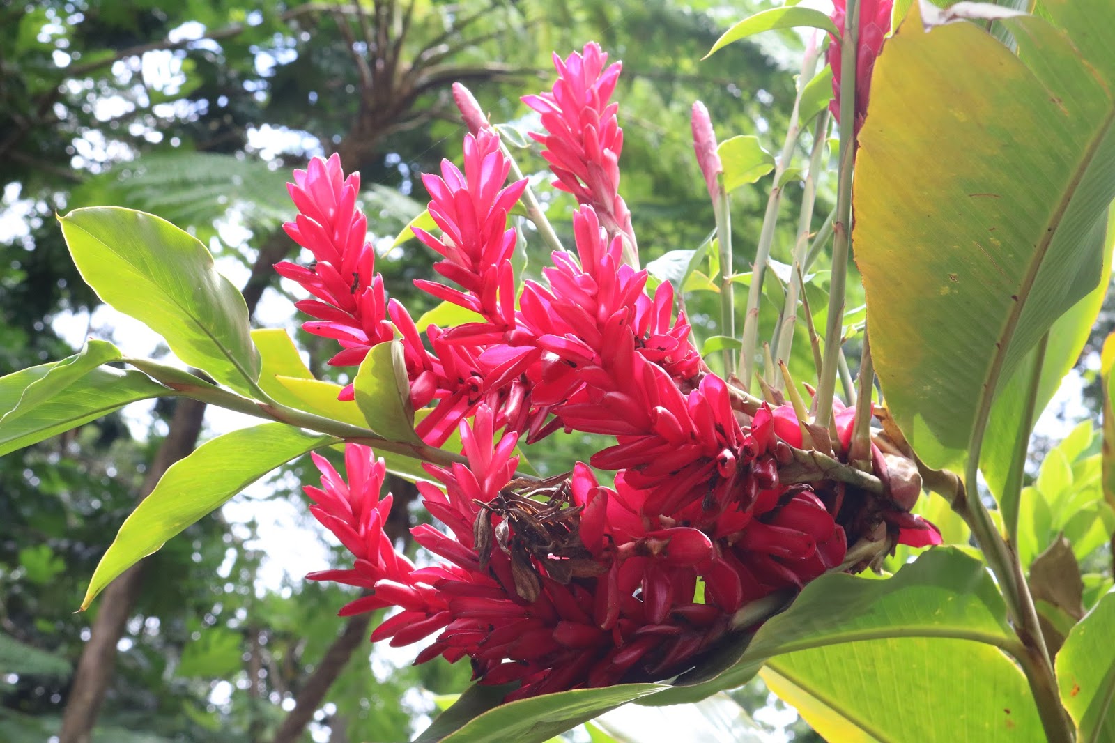
A bright splash of red in a sea of greens.


I don't know what kind of tree this is, but it was abundant in El Yunque and quickly became one of my favorites. I love the lacy look to the fronds. I assume it's some kind of palm.


Comments
Post a Comment